We worked with the World Bank and the Government of Burundi to design a risk-informed investment strategy for urban flood resilience in Bujumbura and Gatumba. The strategy set out immediate and long-term actions, supported by detailed hazard and risk models, to guide ongoing resilience planning.
Bujumbura, Burundi’s most populous city, and the nearby town of Gatumba sit on the shores of Lake Tanganyika. Both urban centres are highly exposed to flooding from multiple sources – the lake itself, local rivers, and intense rainfall. In 2020, floods affected around 90 percent of Gatumba’s population, underlining the severity of the hazard (UNICEF, 2020).
Rapid urban growth has increased the risk further. Development in floodplains, limited master and spatial planning, inconsistent enforcement of zoning regulations, and degradation of the upper catchments all contribute to high levels of exposure and vulnerability. Drainage systems and flood defences are often inadequate or poorly maintained, leaving communities highly at risk.
Working with the World Bank and the Government of Burundi, we developed a risk-informed investment strategy to reduce flood risk in Bujumbura and Gatumba.
To do this, we built integrated hydrological and hydraulic models that capture fluvial, pluvial, and lake flooding, alongside a flood risk model. These tools were used to assess current levels of risk and to test how different combinations of measures could reduce flood impacts. Options considered included:
Investment strategies were shaped using multi-criteria and cost–benefit analysis, helping to identify both quick wins and longer-term interventions.
Collaboration was central to the project. A Technical Committee of government agencies and local stakeholders – including the Ministry of Finance, the Burundian Office of Urbanism, the Ministry of the Environment, the Mayor’s office, the University of Burundi, and the Burundi Red Cross – guided the process. Engagement took place through in-country workshops, regular virtual meetings, and continuous collaboration with our national experts.
Our project team combined international specialists with Burundian experts in hydrology, risk analysis, and stakeholder engagement. A local engineering surveyor also played a key role, collecting critical data on bridges, culverts, and embankments to strengthen the hydraulic model.
The investment strategy provided the World Bank and the Government of Burundi with a roadmap for future projects and funding allocations under the upcoming Urban Resilience programme. Progress against this programme is now being made and will directly benefit the residents of Burundi, leading to improved resilience and livelihoods.
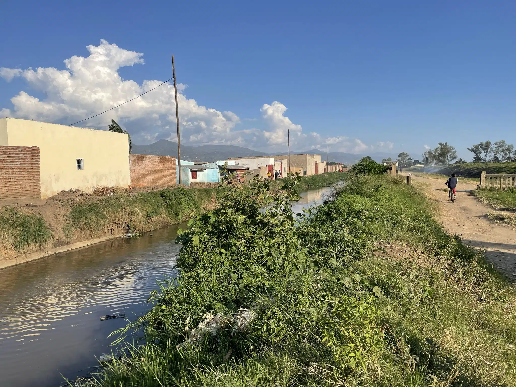
The plan identified immediate opportunities to protect critical infrastructure and strengthen capacity within government institutions, alongside longer-term actions such as embankment upgrades and improved drainage. It also proposed non-structural measures, including better enforcement of zoning regulations, the creation of infiltration zones in city centres, and the expansion of protected floodplain areas.
In addition to the strategy itself, the project produced detailed flood hazard and risk models, along with high-resolution maps, to provide a strong technical foundation for ongoing resilience planning in Burundi.
Contact our team to learn more about this project.