We’re reflecting on the first two years of our on-going collaboration with Development Data Partnership (DDP). Through this valued partnership, JBA’s Global Flood Maps have supported 44 projects across 46 countries – tackling flood risk across Africa, Asia, Latin America and Europe.

Ready to discuss your next project? Contact our team today.
As climate extremes intensify and urbanisation grows, flood risk is rising – driving an urgent need for reliable, accessible data to guide planning, investment and disaster risk management. Yet in many parts of the world, such data remains limited, inconsistent or inaccessible, hampering early action and long-term resilience.
To help address this challenge, we share our Global Flood Maps with international development and humanitarian organisations through the Development Data Partnership (DDP). This initiative – part of the broader Data for Good movement – promotes the responsible and effective use of third-party data to advance global development efforts.
JBA’s Global Flood Maps are now among the most widely used datasets in the DDP. In fact, we were honoured to be recognised as one of the recipients of the “Most Used Dataset in the Last Year” award – a reflection of the growing demand for accessible flood hazard data across a wide range of sectors and geographies.
Data sharing agreements are now in place with several international organisations including:
The following examples show how development and humanitarian organisations are applying JBA’s Global Flood Maps to support practical decision-making around the world. From early-stage investment screening to resilient infrastructure planning, the maps are helping teams work more effectively in complex, data-scarce environments.
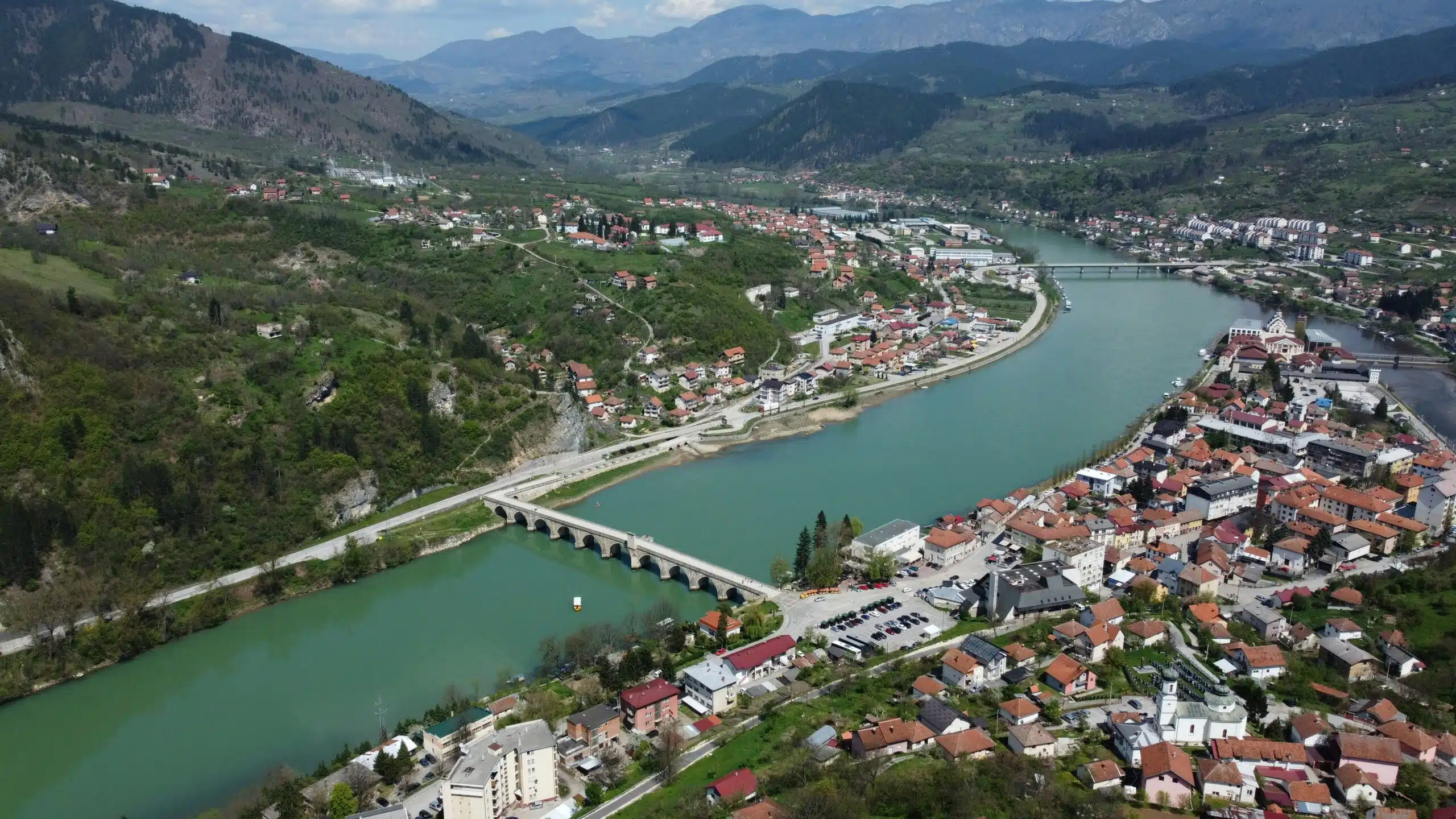
In a study led by the World Bank’s Urban, Resilience and Land team for Europe and Central Asia, JBA’s Global Flood Maps were used to assess the economic impacts of flooding across six Western Balkan countries: Albania, Bosnia and Herzegovina, Kosovo, Montenegro, North Macedonia, and Serbia. By integrating flood hazard data with demographic and economic indicators, the team carried out a comprehensive cross-country structural risk analysis. This approach enabled consistent comparisons of flood exposure across national borders and sectors, helping to identify vulnerability hotspots and inform targeted resilience strategies.
Read the full Western Balkans case study on the DDP website.

Višegrad, Bosnia and Herzegovina
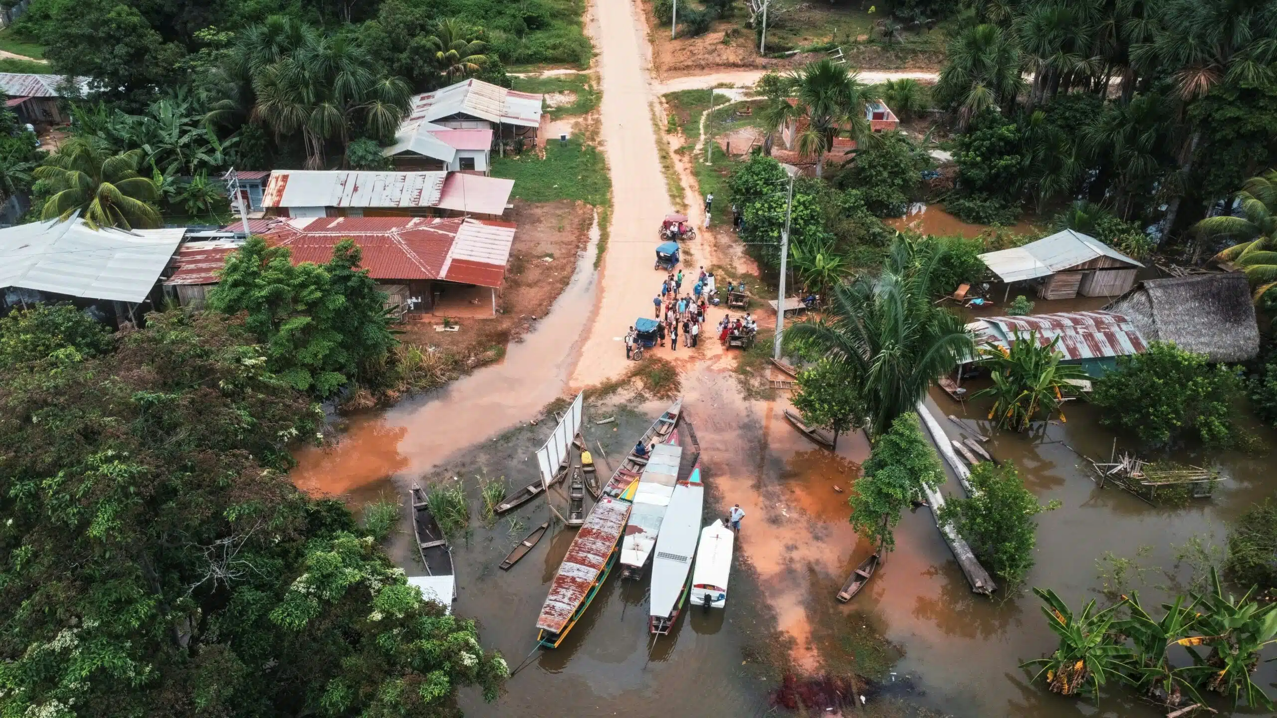
In Peru’s Puno region – one of the country’s most flood-exposed and economically disadvantaged areas – the Inter-American Development Bank (IDB) is investing $425 million to improve water and sanitation services for over 500,000 residents. To strengthen the project’s climate and disaster resilience, JBA’s Global Flood Maps were used during the design phase to assess flood exposure across the region. The maps provided valuable insights at multiple return periods, helping the project team identify flood-prone areas and integrate risk reduction into the planning of essential infrastructure.
Read the full Peru case study on the DDP website.

Puno, Peru
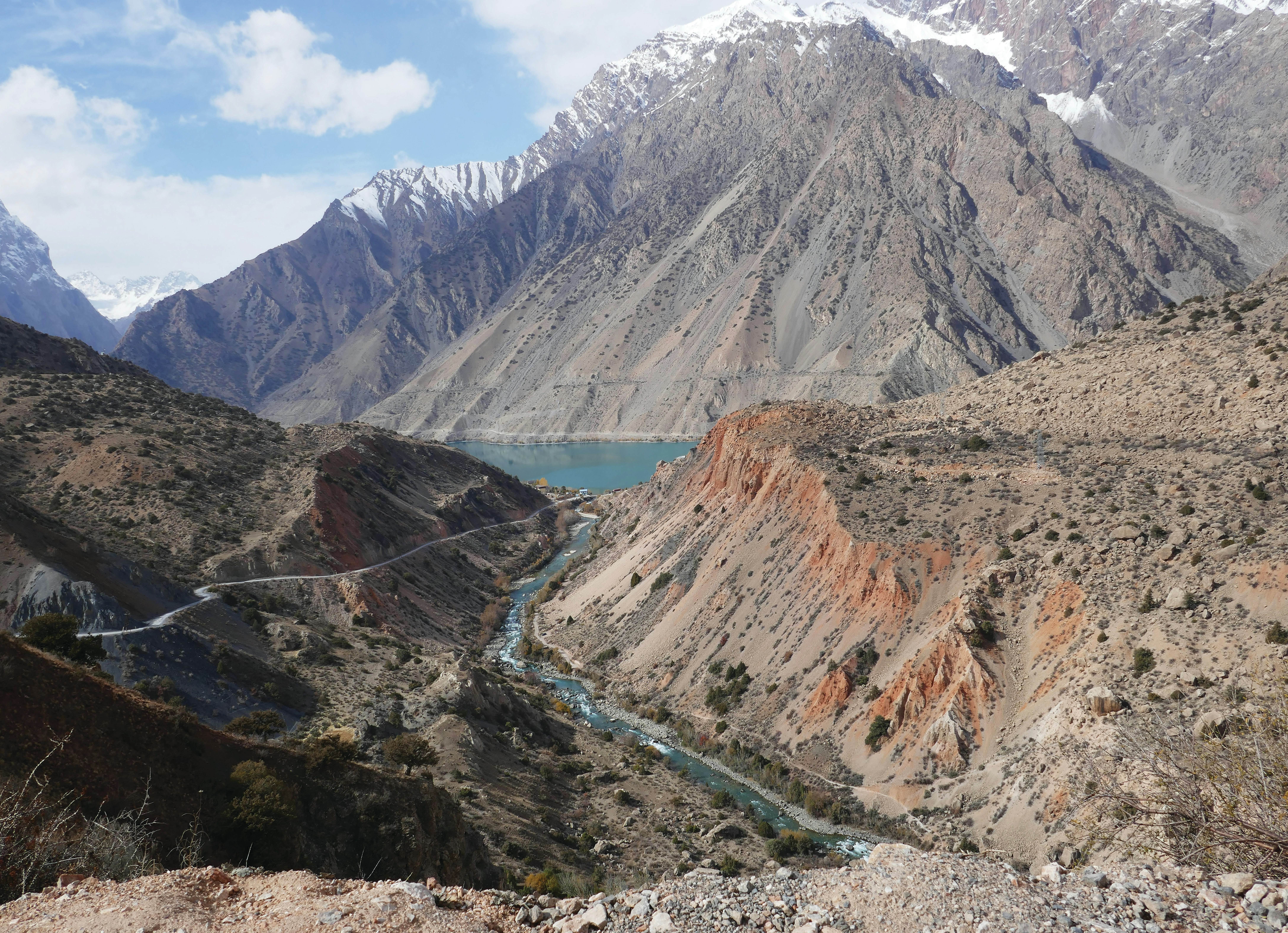
In Tajikistan, the Asian Development Bank used JBA’s Global Flood Maps to assess flood risk along key sections of the national road network, including the Dangara–Guliston corridor. By combining flood hazard data with transport modelling, the analysis identified areas where flooding and landslides could disrupt travel and delay access to essential services. The findings supported the development of climate-resilient infrastructure strategies, helping to prioritise improvements such as flood defences and drainage to protect critical connectivity.
Read the full Tajikistan case study on the DDP website.

Tajikistan
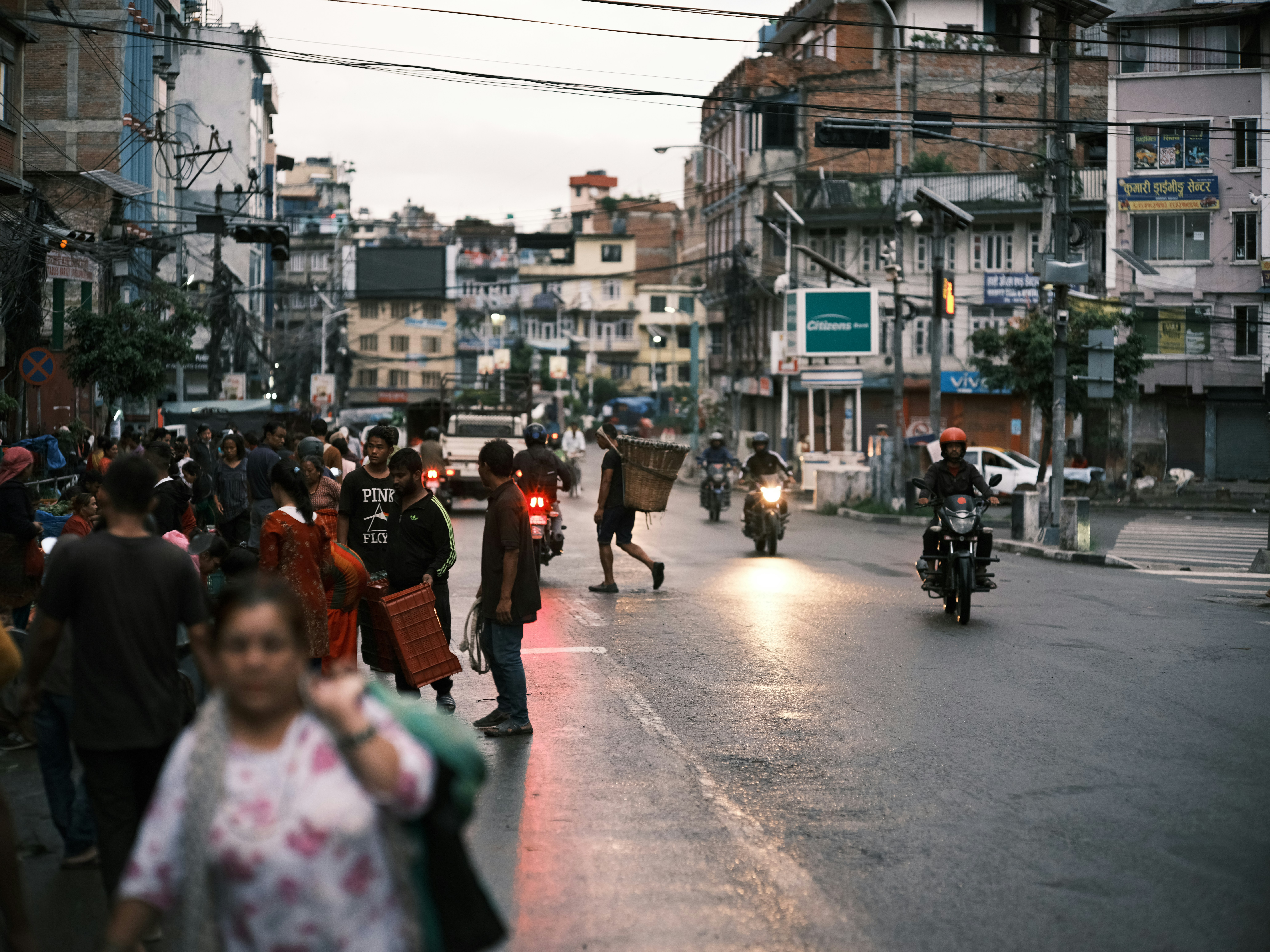
In Itahari, a rapidly growing city in southeastern Nepal, the World Bank used JBA’s Global Flood Maps to assess flood risk and guide the integration of nature-based solutions (NbS) into urban planning. The analysis helped identify high-hazard areas and informed a tailored NbS package, developed in collaboration with local stakeholders and technical experts. This approach supports Itahari’s efforts to reduce flood vulnerability, enhance environmental sustainability, and serve as a model for climate-resilient urban development across Nepal.
Read the full Nepal case study on the DDP website.

Nepal
These examples show how partners are using shared flood data in practical, context-specific ways to inform planning, strengthen infrastructure, and improve outcomes for vulnerable communities.
Through the Development Data Partnership, this vital resource is reaching the people who need it most – helping to close the gap between data availability and effective action in flood-prone regions around the world.
Ready to discuss your next project? Contact our team today.
Discover more about the challenges and solutions shaping resilience and sustainable development across the globe.