Projects

Community-centred flood risk planning in Burundi and the Republic of Congo

Working on behalf of the Global Center for Adaptation, we supported neighbourhood-scale flood risk planning in Burundi and the Republic of Congo, collaborating with communities and local authorities to strengthen risk-informed urban development in flood and erosion prone urban areas.

People walking and standing near a small water channel in a residential area, with houses and vegetation alongside the channel.

Responding to growing urban flood risk

In rapidly urbanising cities in the Republic of the Congo and Burundi, many communities face growing flood risk alongside land degradation and erosion. Informal settlement patterns, inadequate drainage, limited land-use controls, and constrained infrastructure investment are intensifying these pressures and compounding exposure in high-risk areas. As a result, communities experience repeated flood and erosion impacts. Despite these challenges, risk information has not consistently been accessible or actionable at neighbourhood scale.

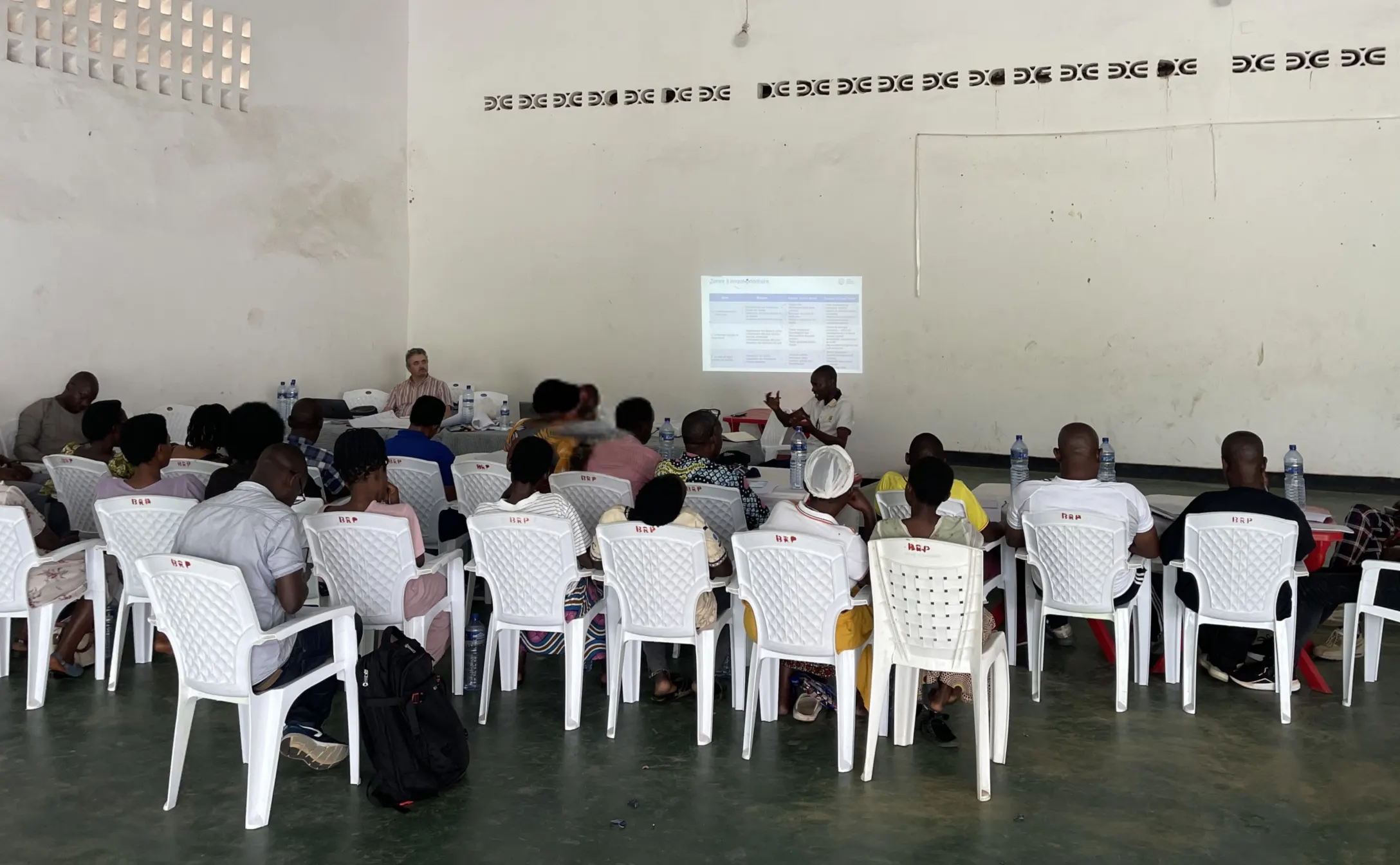
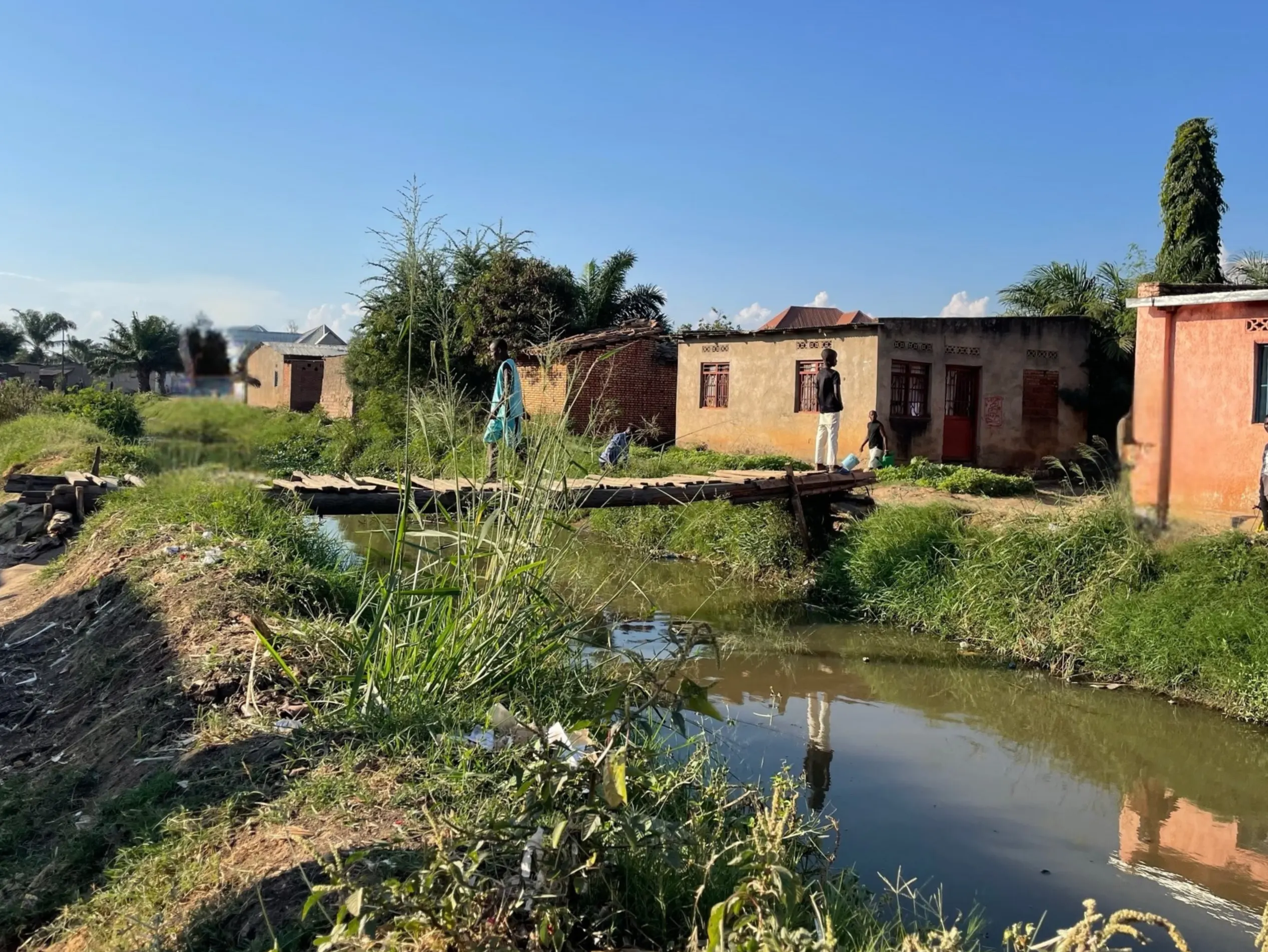
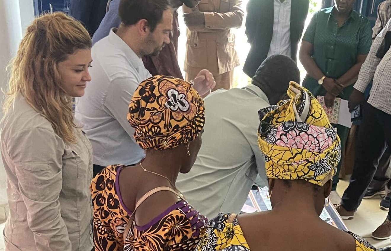
Working with communities to understand risk

The project applied a community-centred, risk-informed planning approach, recognising that local knowledge and current actions are critical to understanding how flood risk is experienced and managed in practice.

Working on behalf of the Global Center on Adaptation, and alongside project partners Landell Mills and Sayers and Partners, we supported participatory risk mapping and structured dialogue between residents, civil society groups, municipal authorities, and technical experts. This process brought together lived experience of flooding with existing hazard and risk assessments, helping to validate data and build a shared understanding of risk.

Participants seated on white chairs inside a large hall, attending a workshop with a presentation projected onto the wall at the front of the room.

Co-developing Community Resilience Spatial Frameworks

Through this collaborative process, Community Resilience Spatial Frameworks (CRSFs) were co-developed for vulnerable neighbourhoods in both countries. The CRSFs provided a practical planning framework to:

  • Refine and locally validate flood risk information
  • Support the community in developing a shared vision for their neighbourhoods
  • Identify context-appropriate structural and nature-based resilience options
  • Jointly prioritise short- and medium-term intervention to support community-led actions
  • Align neighbourhood level priorities with existing government plans and cross-cutting projects and initiatives.

CRSF are grounded in strong technical analysis, however they go further, supporting informed dialogue and coordination around realistic, locally supported actions.

Group of people standing closely together indoors, taking part in a facilitated workshop.

Enabling safer and more resilient urban development

The project strengthened urban flood resilience by improving access to locally validated risk information and enhancing capacity for inclusive, risk-informed planning at neighbourhood scale.

By aligning community priorities and current actions with formal planning processes, the project supported coordinated and scalable resilience actions, contributing to safer urban development, reduced long-term vulnerability to flooding, and improved wellbeing for communities exposed to recurrent flood risk.

Location:

Burundi, Republic of the Congo

Client:

Global Center on Adaptation

Expertise:

Hazard and risk modelling
Strategic investment planning

Delivered By:

JBA Consulting

Partners & Collaborators:

Landell Mills Ltd
Sayers and Partners
Projects

Other projects

Explore more projects and discover how they are making an impact worldwide.

Input your search keywords and press enter.