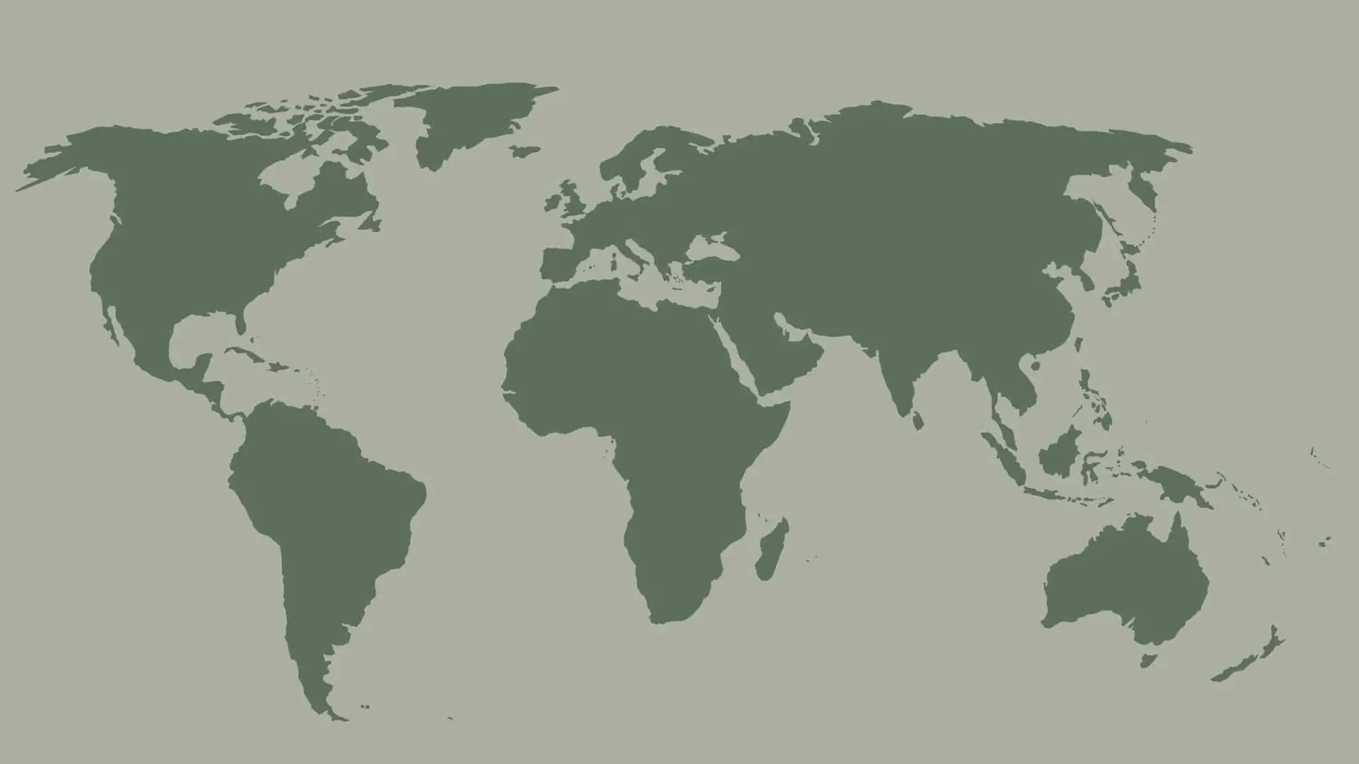
UK and Republic of Ireland
- 5m resolution flood maps
- River, surface water, groundwater and coastal layers
- Canal failure and dam break maps
- Extents and water depths for multiple return periods
- Defended area layers indicating areas that are protected from flooding, its level of protection and
source information quality
Central and South America
- 30m resolution flood maps
- River, surface water and coastal layers
- Extents and water depths for 6 return periods
- Defended area layers indicating areas that
are protected from flooding, its level of
protection and source information quality
Asia
- 30m resolution flood maps
- River, surface water and coastal layers
- Extents and water depths for 6 return periods
- Defended area layers indicating areas that
are protected from flooding, its level of
protection and source information quality
USA
- 5m resolution flood maps
- River, surface water and coastal layers
- Extents and water depths for 6 return periods
- Defended area layers indicating areas that
are protected from flooding, its level of
protection and source information quality
Europe
- 5m resolution flood maps available for Austria,
the Czech Republic, Belgium, France, Germany,
Italy, Luxembourg, Liechtenstein and Switzerland - All other countries are mapped at 30m resolution
- River, surface water and coastal layers
- Extents and water depths for 6 return periods
- Defended area layers indicating areas that
are protected from flooding, its level of
protection and source information quality
Australia
- 5m resolution flood maps available for the
most populated areas - All other areas are mapped at 30m resolution
- River, surface water and coastal layers
- Extents and water depths for 6 return periods
- Defended area layers indicating areas that
are protected from flooding, its level of
protection and source information quality
Canada
- 30m resolution flood maps
- River, surface water and coastal layers
- Extents and water depths for 7 return periods
- Defended area layers indicating areas that
are protected from flooding, its level of
protection and source information quality
Africa
- 30m resolution flood maps
- River, surface water and coastal layers
- Extents and water depths for 6 return periods
- Defended area layers indicating areas that
are protected from flooding, its level of
protection and source information quality
Oceania
- 30m resolution flood maps
- River, surface water and coastal layers
- Extents and water depths for 6 return periods
- Defended area layers indicating areas that
are protected from flooding, its level of
protection and source information quality