Working for the World Bank, we developed multi-hazard investment strategies to strengthen urban resilience across 10 high-risk cities in Niger, addressing risks from flooding, drought and water resource pressures.
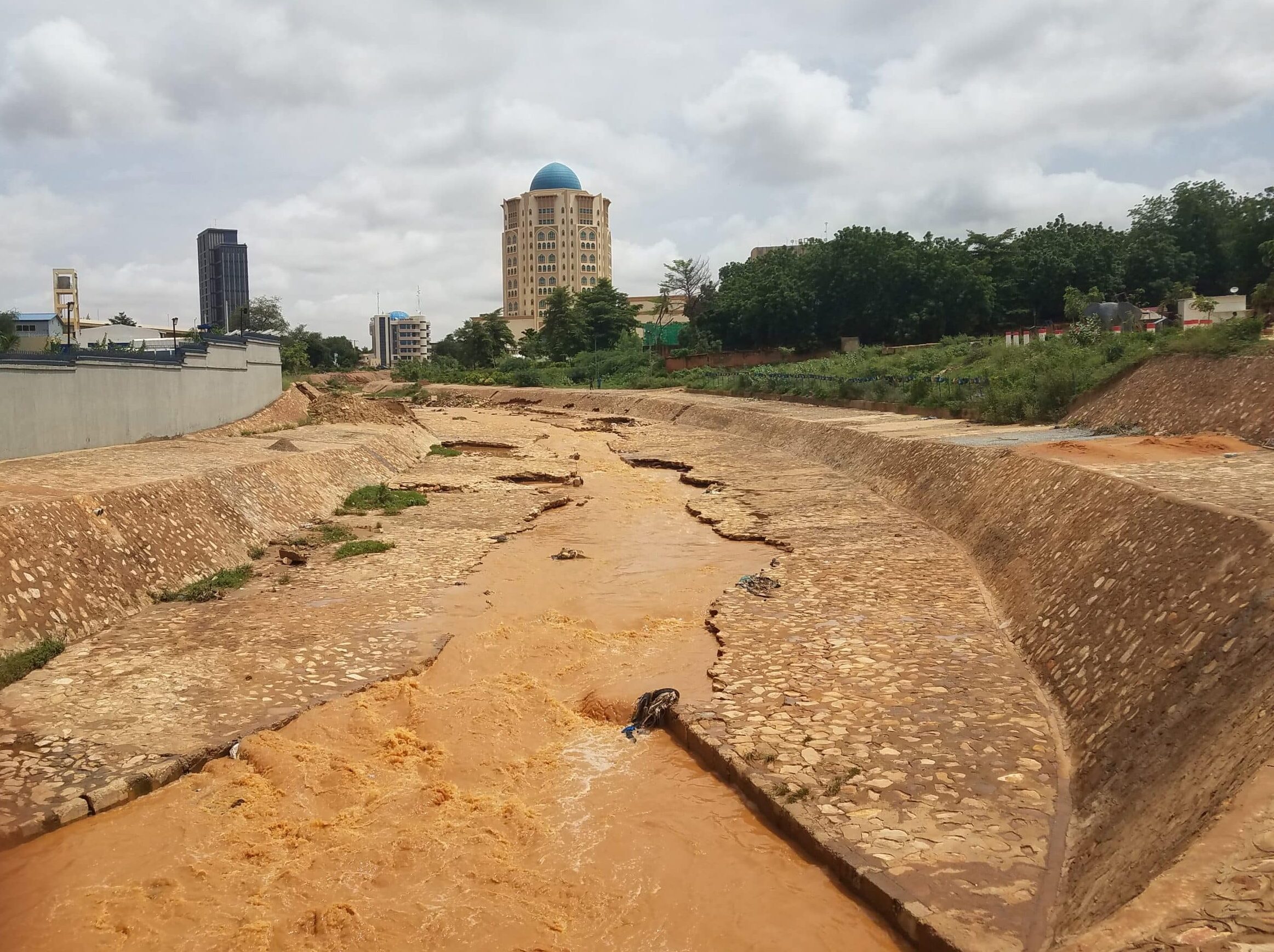
Urban areas across Niger face increasing exposure to climate-related hazards, particularly flooding and drought. Rapid population growth, informal development, and water resource pressures have intensified the challenge. Eleven cities – Agadez, Diffa, Gaya, Guidan Roumdji, Maradi, Niamey, Tahoua, Tchirozerine, Tessaoua and Tibiri – were identified as priority locations for targeted investment. To support resilience planning, the World Bank commissioned the development of risk-informed strategies that accounted for the combined risks from flooding, drought and water resource constraints.
We, in collaboration with Sayers and Partners and Landell Mills, were commissioned to deliver the technical analysis underpinning these strategies. The work supported the Government of Niger in identifying and prioritising feasible, cost-effective interventions across a range of hazard contexts and urban settings.
We developed hazard and risk models for each city to assess exposure to both current and future risks, including the influence of climate change and urbanisation. The modelling focused primarily on flood risk, with drought and water availability considerations incorporated into the broader planning framework. These models were used to evaluate a range of mitigation strategies, including structural measures such as embankments, improved culverts, drainage systems, and nature-based solutions like catchment restoration and upstream storage.
Alongside hazard modelling, multi-criteria and cost-benefit analysis was undertaken to test combinations of structural and non-structural measures. These included improved planning, land use management, and zoning regulations to reduce future exposure. In some cities, the modelling indicated that the level of risk is so severe that relocation of households may be the only viable long-term option. As this is a highly sensitive issue, a key focus of the investment strategies was to improve planning and zoning regulations – and their enforcement – to prevent further development in high-risk zones.
The investment strategies are now available to inform future, sustainable urban development strategies. Each strategy identifies both short-term measures – such as debris clearance and culvert rehabilitation – and longer-term, systemic actions. The project also highlighted institutional strengthening needs, particularly around planning enforcement and technical capacity within key government agencies.
As part of the project handover, we provided high-resolution flood hazard and risk maps, alongside the underlying models, to national stakeholders for continued use. The work is contributing to a shift towards more integrated, long-term urban resilience planning – accounting for multiple hazards, growing exposure and the need for sustainable water management in a changing climate.
Contact our team to learn more about this project.