Flood risk modelling for rural road resilience in Cambodia
We worked with the World Bank to develop and test a flood risk assessment methodology for rural road improvements in Cambodia. The study demonstrated how flood risk modelling can support more resilient infrastructure planning before construction begins.
Using flood risk modelling to support more resilient rural infrastructure
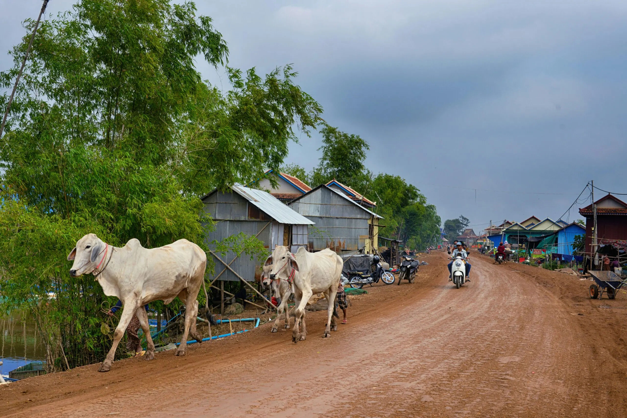
Rural roads play an important role in daily life across Cambodia, connecting communities to schools, healthcare, markets, and other essential services. They also support the movement of goods and help sustain local economies. However, many rural roads are exposed to seasonal flooding, disrupting travel and trade, affecting livelihoods, and increasing maintenance and repair costs.
Working with the World Bank, we developed and tested a flood risk assessment methodology for two rural road sections in Kampong Speu Province. The study was designed as a proof of concept to demonstrate how flood risk modelling can inform road planning before designs are finalised and construction begins. By testing proposed upgrades in advance, it helped identify potential flood impacts, quantify resilience benefits and assess wider catchment effects early in the decision-making process.
The project also explored how resilience outcome indicators could be used to measure and compare the benefits of infrastructure investments consistently across future investment programmes.
Testing the benefits of road improvements
To assess the proposed road improvements, the project compared flood risk under two scenarios: existing conditions and a future design scenario in which the upgraded roads, bridges and drainage infrastructure were assumed to be in place. This helped quantify the resilience benefits of the proposed improvements.
The assessment combined hydrological, hydraulic and probabilistic risk modelling to evaluate flood behaviour and its consequences for road performance under both existing and upgraded conditions.
The analysis showed how the improvements could influence:
flood depths, extents and durations
direct physical damage to road assets
road closure duration
sections of road where investment could deliver the greatest resilience benefits.
By quantifying the difference between the baseline and upgraded scenarios, the modelling provided decision-relevant evidence to compare design options, support investment prioritisation and demonstrate where proposed improvements would make the biggest difference during flood events.
Looking beyond the road corridor
The study also showed why road improvements need to be assessed within their wider catchment context.
Measures such as raised embankments, new culverts and bridge upgrades can reduce flooding and disruption on the road itself. However, they can also alter how water moves through the surrounding landscape.
In one location, the proposed upgrades reduced flood impacts on the road but increased flood depths in some nearby upstream areas. In another, the effects on surrounding flood behaviour were more localised.
These findings highlighted the value of assessing wider flood behaviour early in the design process. This helps planners and engineers understand where proposed upgrades are likely to improve resilience, where further design refinement may be needed, and where surrounding communities or assets could be affected.
Supporting access, livelihoods and local economies
Although the modelling focused on road infrastructure, the findings have wider relevance for communities, livelihoods and local economies.
Maintaining access during and after floods helps communities reach schools, healthcare, markets and essential services. It also supports more reliable local transport networks and reduces disruption to livelihoods.
By identifying vulnerable road sections and comparing intervention scenarios, the methodology helps decision-makers understand where investment is likely to deliver the greatest benefit for communities while supporting more resilient transport networks.
A practical framework for future investment
A key outcome of the project was a tested flood risk assessment methodology that can be applied to future rural transport investments. The approach provides a practical, repeatable framework to support investment prioritisation, design optimisation, monitoring and reporting, while enabling the development of consistent resilience outcome indicators across infrastructure programmes.
By helping planners and engineers compare design options, understand wider catchment impacts and quantify resilience benefits before construction begins, the methodology supports more resilient, better-targeted infrastructure investment.
Location:
Cambodia
Client:
The World Bank
Expertise:
Hazard and risk modelling
Strategic investment planning
Delivered By:
JBA Consulting
JBA Risk Management
Partners & Collaborators:
SEADRM2 Programme
Contact our team to learn more about this project.
Get in touch
Projects
Other projects
Explore more projects and discover how they are making an impact worldwide.